Urban Growth Prediction Using LiDAR for a Leading System Integrator in South Korea
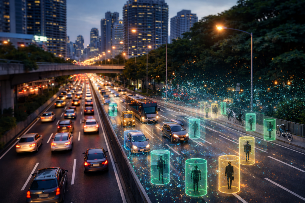
AI Powered Traffic monitoring and Analytics
Client
System integrators Smart city operators
Industry
Smart Infrastructure Urban Planning
Service
LiDAR data analytics Urban growth prediction
Use Case
Traffic movement analysis
Spatial intelligence
Technology
LiDAR
PointPillars
Goal
Develop an AI driven LiDAR analytics framework capable of processing large scale point cloud data in real time to detect movement patterns and predict urban growth trends. The objective was to enable data driven urban planning, infrastructure optimization, and smart city decision making through accurate spatial intelligence.
Problem Statement
Urban growth prediction requires interpreting large and continuously changing spatial datasets generated from traffic movement, terrain structures, and pedestrian activity. Traditional survey-based approaches are labour intensive and lack the scalability and precision required for modern urban planning. While LiDAR sensors generate highly accurate three-dimensional spatial data, converting raw point cloud data into structured and actionable insights for real time analysis remains a significant technical challenge.
Solution Highlights
Vedya developed an end-to-end LiDAR based deep learning pipeline optimized for urban movement analysis and growth prediction
Real Time LiDAR Data Processing
Built a multi–process LiDAR inference pipeline capable of handling large scale point cloud data with low latency and real time processing performanc
Edge Based Data Collection Infrastructure
Configured secure edge computing systems integrated with LiDAR sensors, Docker environments, and SSH based data acquisition workflows
Advanced Point Cloud Preprocessing
Developed preprocessing and annotation pipelines using CVAT for efficient point cloud labelling, dataset generation, and training data management
3D Deep Learning Model Optimization
Implemented and optimized the PointPillars architecture for accurate and low latency object detection across urban environments
Spatial Movement Analys
Enabled detection and tracking of pedestrians, two wheelers, four wheelers, and urban traffic movement within defined regions of interest
GPU Accelerated Model Training
Performed training and hyperparameter optimization using GPU enabled infrastructure for improved inference speed and prediction consistency
High Accuracy Urban Intelligence
Achieved strong evaluation metrics with 0.96 precision, 0.94 recall, and 0.90 overall accuracy across multiple test conditions
Scalable Deployment Architecture
Containerized deployment pipelines ensured seamless scalability, portability, and integration into existing smart city ecosystems
Conclusion
Vedya successfully developed a scalable AI framework that transforms complex LiDAR point cloud data into actionable urban intelligence. By combining real time data processing, deep learning-based object detection, and optimized spatial analytics, the solution enabled accurate urban growth prediction and efficient infrastructure planning. The modular architecture and high-performance inference pipeline position the solution as a strong foundation for future smart city and spatial intelligence applications.